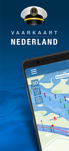
Nautical map (The Netherlands)
3.2

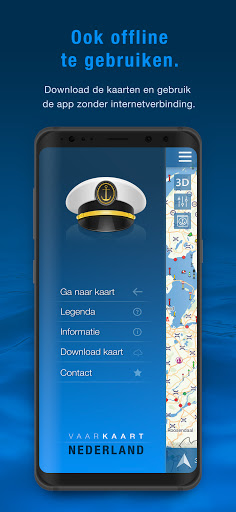
About Nautical map (The Netherlands)
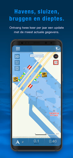
Nautical map NL includes:
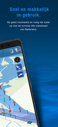
- More than 8,000 buoys, barrels and other floating waterway markings.
- More than 4,500 docks and warfs.
- More than 2,500 bridges, including height, width and operating times.
- More than 300 locks including operating times.
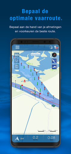
- Display of current speed and course.
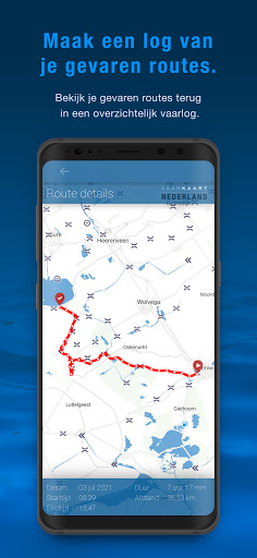
- Graphical representation of the traveled route.
Agreements: http://www.vaarkaartnederland.nl/voorwaarden
Recent Updates - Version 3.5.4
- - Various improvements and add additional data
- Possibility to renew the subscription early
Install On Your Mobile Device:


Install On Windows PC Or Mac: