
ESA Heritage Missions
0.0

About ESA Heritage Missions
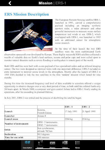
This application is a gateway to knowing what the ESA ERS-1, ERS-2 and Envisat missions are about, how they worked and what the elements of the space and ground segment that made these missions unique are.
It includes also a dedicated section that allows one to discover, visualize and download real ESA ERS-1, ERS-2 and Envisat measurements over our planet: a remarkable tool for students and scientists engaged in using heritage missions products or interested in satellite engineering.
Features:
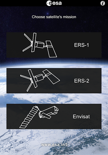
- Description of the ESA ERS-1, ERS-2 and Envisat missions
- Large selection of photos and videos on a wide range of topics related to ERS-1, ERS-2 and Envisat
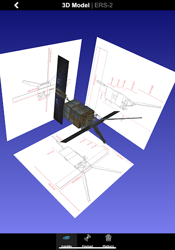
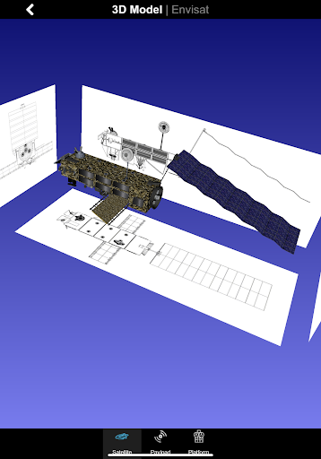
- Striking 3D models with explanations of the different platform and payload elements
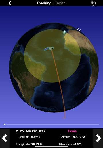
- World map with orbit position of the ESA satellites for a specific date and time
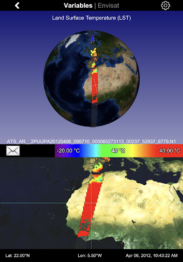
- Impressive visualization of real ERS-1, ERS-2 and Envisat measurements over the Earth with acquisition strip over the Earth
- Access to several geophysical parameters measured by the satellites
… and much more
In the 3D environment:
- swipe/pinch to rotate/zoom the scene or the satellite model
- triple touch to reset position
Recent Updates - Version 1.4
- Change "News" system
Install On Your Mobile Device:


Install On Windows PC Or Mac: