
ESA Aeolus
0.0

About ESA Aeolus
It includes also a dedicated section that allows one to discover and visualize real ESA Aeolus measurements over our planet: a remarkable tool for students and scientists engaged in using Aeolus products or interested in satellite engineering.
Features:
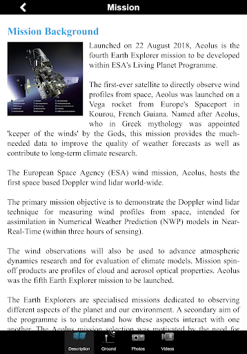
- Description of the ESA Aeolus mission: space and ground segment
- Large selection of photos and videos on a wide range of topics related to Aeolus
- Latest mission operations news
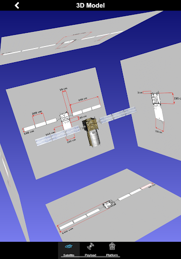
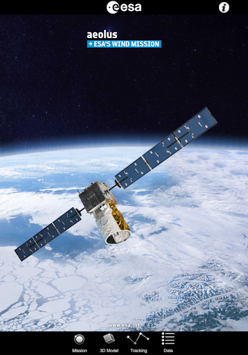
- Striking Aeolus 3D model with explanations of the different platform and payload elements
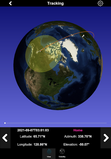
- World map with orbit position of the ESA satellite
- Satellite visibility over selected ground stations and local position
- Automatic update of the Aeolus orbit
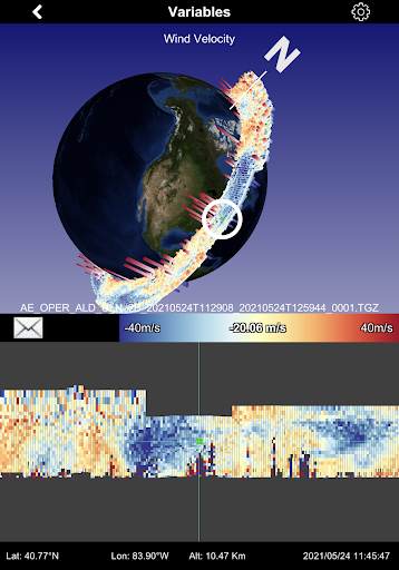
- Impressive visualization of real Aeolus measurements over the Earth with vertical profiles and easy geographical localization
- Access to several geophysical parameters measured by the satellite
… and much more
In the 3D environment:
- swipe/pinch to rotate/zoom the scene or the satellite model
- triple touch to reset position

Recent Updates - Version 1.3
- Fix info pages of internal sensors
Install On Your Mobile Device:


Install On Windows PC Or Mac: